The Islands
13 islands, one community
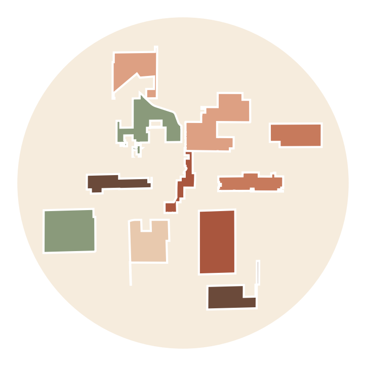
The Peoria MPA includes 13 unincorporated county islands. Each has its own shape and character.
All 13 were mapped in the recent fire district impact statement. [IMPACT STATEMENT LINK]
[ISLAND 1 NAME/BOUNDARIES]
[Short description: streets, landmarks, approx. households]
[ISLAND 2 NAME/BOUNDARIES]
[Short description: streets, landmarks, approx. households]
[ISLAND 3 NAME/BOUNDARIES]
[Short description: streets, landmarks, approx. households]
[ISLAND 4 NAME/BOUNDARIES]
[Short description: streets, landmarks, approx. households]
[ISLAND 5 NAME/BOUNDARIES]
[Short description: streets, landmarks, approx. households]
[ISLAND 6 NAME/BOUNDARIES]
[Short description: streets, landmarks, approx. households]
[ISLAND 7 NAME/BOUNDARIES]
[Short description: streets, landmarks, approx. households]
[ISLAND 8 NAME/BOUNDARIES]
[Short description: streets, landmarks, approx. households]
[ISLAND 9 NAME/BOUNDARIES]
[Short description: streets, landmarks, approx. households]
[ISLAND 10 NAME/BOUNDARIES]
[Short description: streets, landmarks, approx. households]
[ISLAND 11 NAME/BOUNDARIES]
[Short description: streets, landmarks, approx. households]
[ISLAND 12 NAME/BOUNDARIES]
[Short description: streets, landmarks, approx. households]
[ISLAND 13 NAME/BOUNDARIES]
[Short description: streets, landmarks, approx. households]
Not sure which island you live in?
Send us your cross streets and we will help.